 Live From the Storm at CMS |
 |
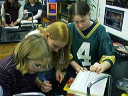
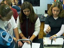
Activity 3.5 Sizing up a Storm |
|
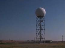
One of the most powerful tools used in tracking and predicting severe storms is modern weather radar, specifically WSR-88D. (Weather Surveillance Radar developed in 1988 with Doppler radar capability) This technologically advanced radar allows the storm tracker to monitor precipitation intensity, movement, and even internal air circulation, thereby increasing the warning time for approaching storms. WSR-88D functions in two modes. In the reflectivity mode the radar indicates location, movement, and the intensity of the storm. The velocity ( Doppler ) mode provides an inside look at the air circulation within a storm - a key to identifying tornadoes. ( Photo - The radome at the National Weather Service - Lincoln, IL ) |
Activity 3.5 - Lesson Plan