
Activity 1.2 - MOLA
Activity 1.2 - Mapping the Topography of an Unknown Surface
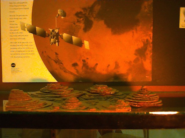
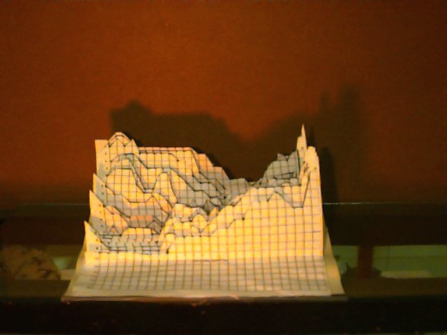
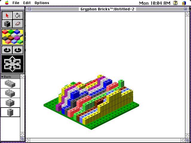
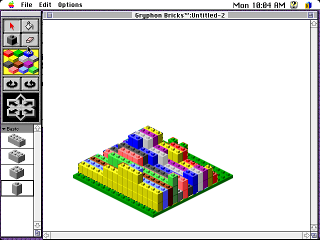
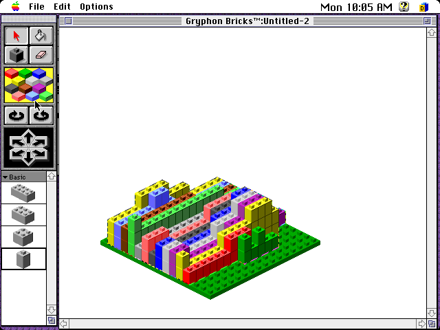
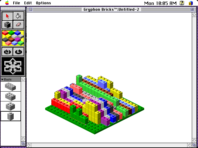
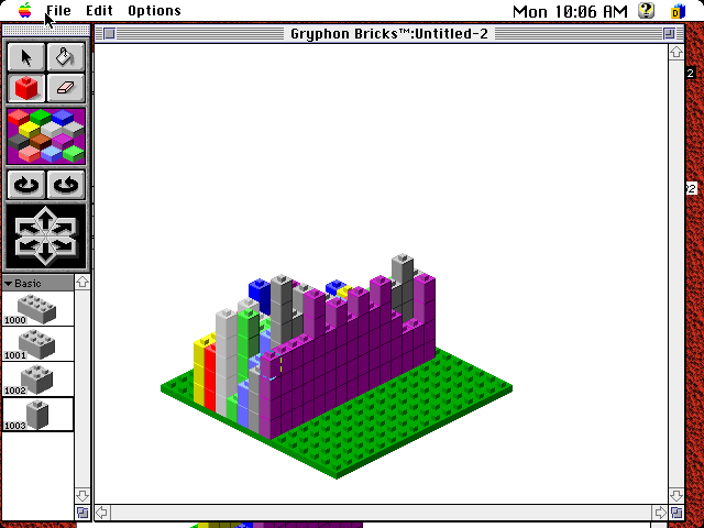
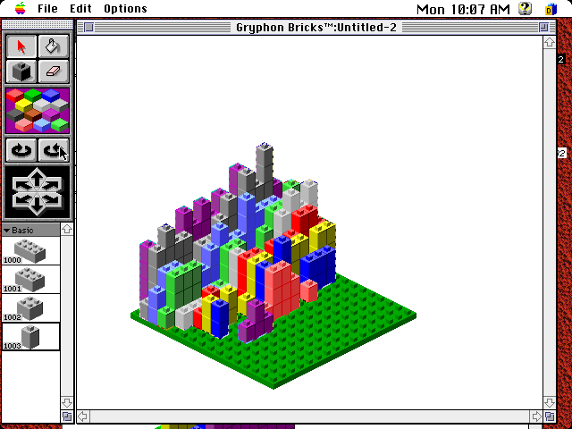
To simulate the topographic mapping of the Martian surface by the Mars Global Surveyor, students constructed model Martian surfaces within cardboard boxes ( Figure A ). They then sealed the boxes, traded with other students, and used graph paper and "altimeter rods" to determine the shape of the hidden surface model ( Figure B ). Finally, the students used the Gryphon Bricks software program to render their paper models into 3-D virtual computer models. The Bricks program allowed the 3-D images to be rotated, so as to be viewed from four different sides
( Figures C-I ).
Return to Students at Work: Live from Mars